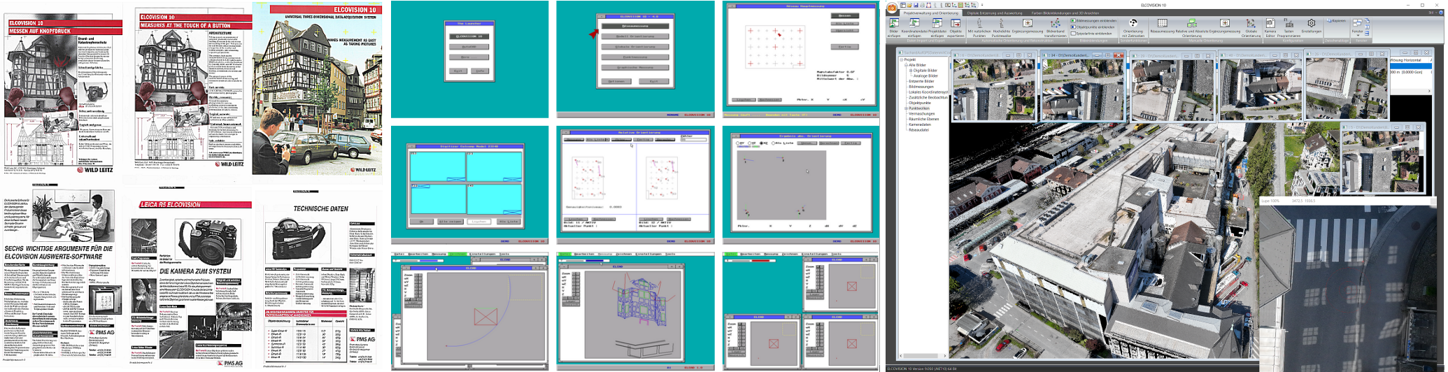
40 Years ELCOVISION 10: Version 9.062 and ELTheo Version 2.020 released
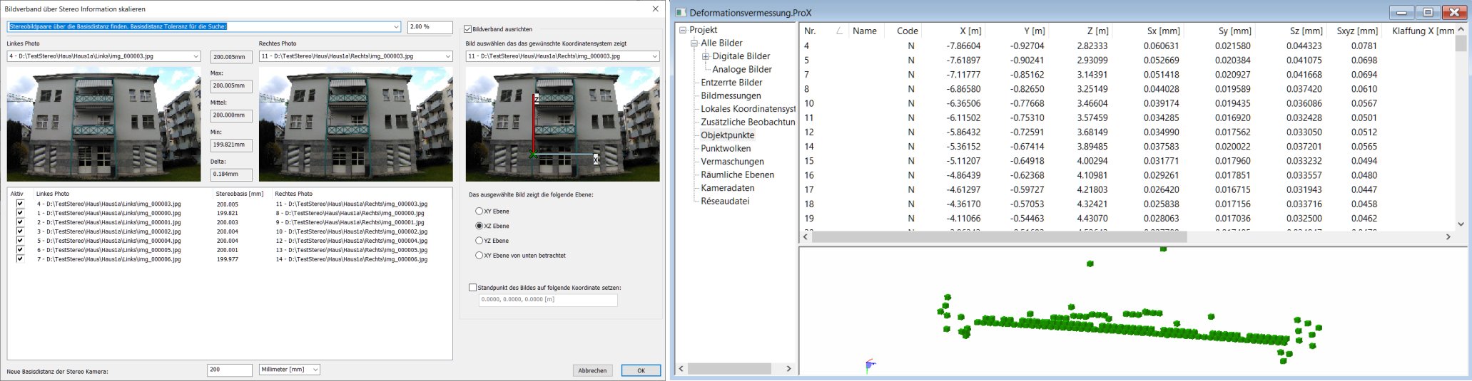
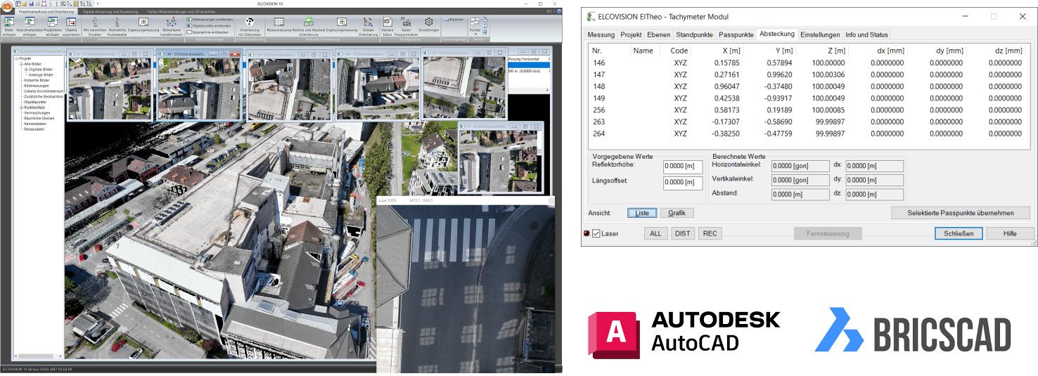
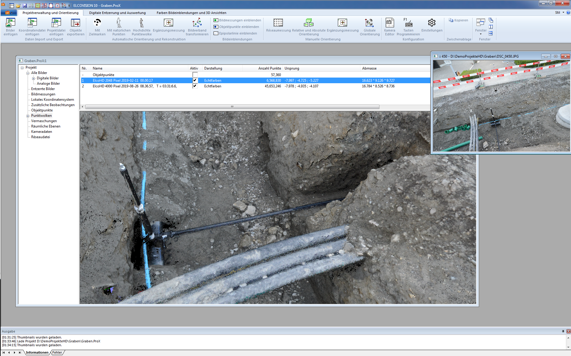
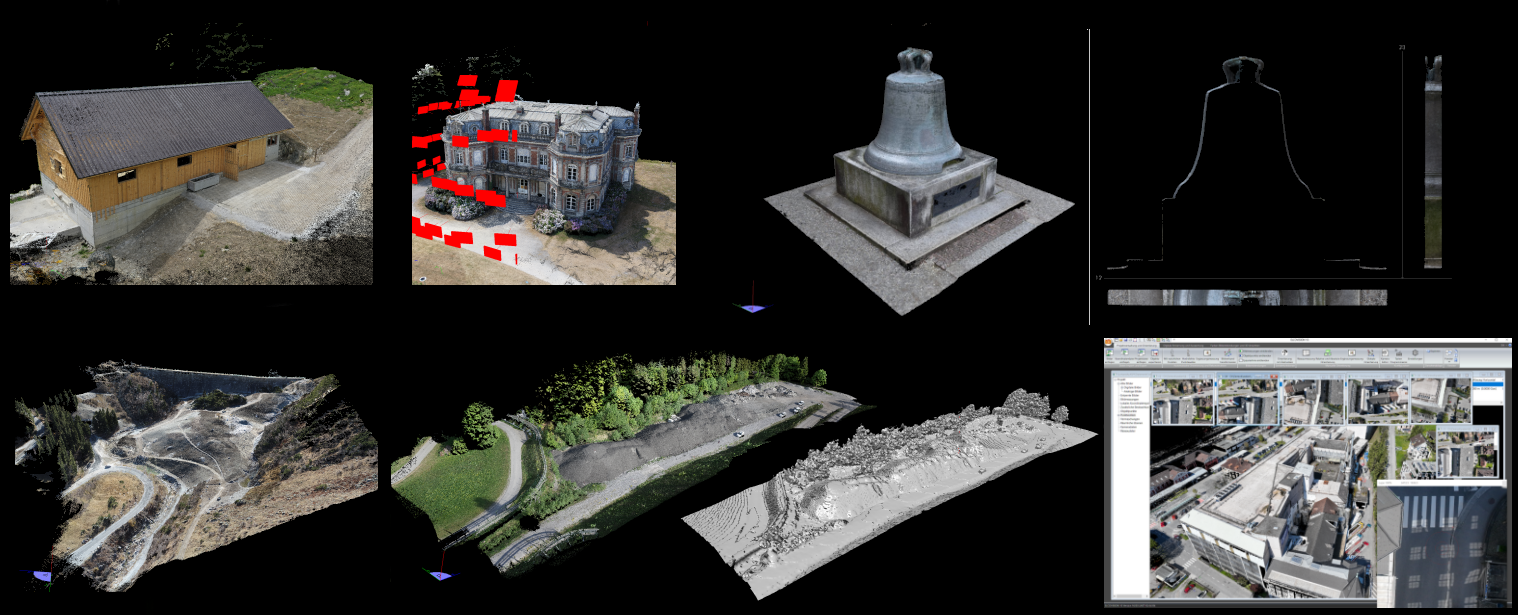
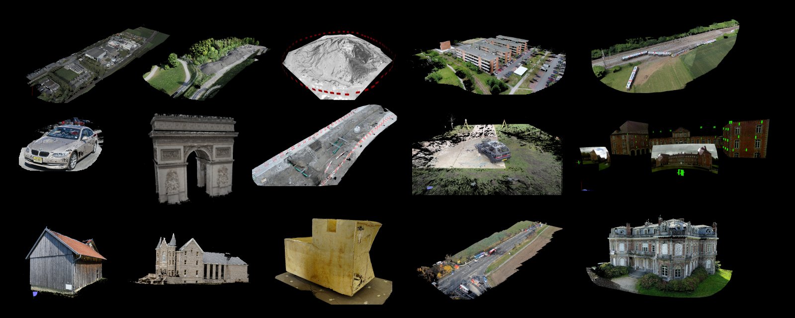
Continuous Development for 40 Years: ELCOVISION 10 ELCOVISION 10 stands for over 40 years of consistent further development. Every year, 2-5 updates are released, which always include numerous innovations and optimisations. Below we present the most notable improvements in version 9.062: The ELCOVISION 10 CAD plugin is now available for…